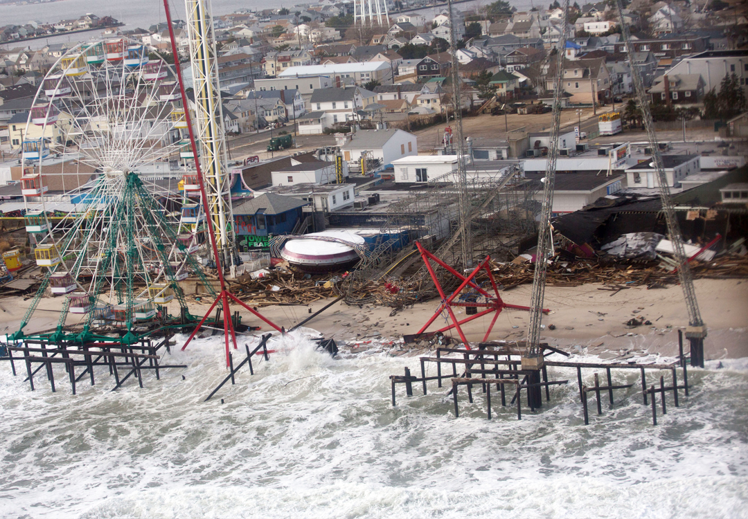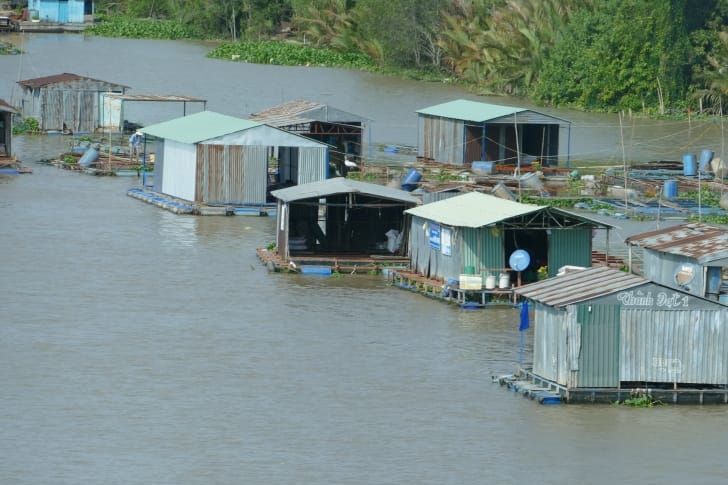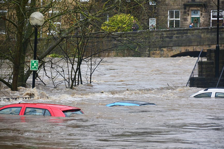
The new federal map released on December 20, 2019, affected more than 1,000 coastal homes in Oceanside and its insurance costs.
The newly updated federal map of Oceanside showed a higher risk of flood. When calculating the insurance cost, about 1,250 coastal properties would be put in another category due to the threat of flooding.
Local government officials released the new map and implemented the new risk charts right before 2019 ended. It also affected a vast number of residents, especially the city engineering office.
In the new map that the Federal Emergency Management Agency released, it shows that there is a more significant threat today, affecting low-lying settlements and properties, compared to the risk that the previous map indicates. With that, it will also affect the areas’ insurance costs. Most of the affected structures are coming from the Coast Highway, a considerable portion of The Strands located in the northern part of the city. St. Malo Beach, a closed and gated community that was established back in the 1920s, is also affected by the new scheme.

According to some experts, the changes and the new federal map have always been in the pipeline. They expected this to come, and it is only a matter of time before it happens. City engineer Brian Thomas also agrees with this. He said during the presentation of the Oceanside Planning Commission that “It’s been a long time coming.”
After putting in a lot of effort into researching the ever-changing weather patterns and other factors such as erosions and land developments within and around the area, the agency can now present a detailed view on the risks people may face, especially for those who owned properties near the coastline. To some degree, it also shows the first in-depth analysis of the Pacific Coast in more than 30 years.
What does it mean for us and the properties of the residents? This means that the updated map would bring higher costs to your insurance. This will significantly affect property owners and insurance companies within the area.
For those who already have a flood insurance policy intact, their plan will be grandfathered, and they will be locked in with their current rates. On the other side of the coin, new property owners that are interested in buying a new policy beyond December 20 would be subjected to higher rates, especially for those who are within the affected areas at risk.
The local government already saw this coming, so they sent out an information drive so that the residents of the affected area would know exactly what to expect. They had been doing it since November last year. Other low-lying structures located in Loma Alta Creek and San Luis Rey River are also in the new federal flood zones. However, these areas are not affected by the latest update.

The map serves as a development beacon for any future projects and structures within the city. It also helps regulate all plans of developing the said area within the Oceanside.
California has an average flood insurance policy cost of around $795 per year. The city of San Diego, on the other hand, has a total of 3233 flood insurance policies, and the average cost of these is around $982 per year.
Article based on The San Diego Union Tribune
Cover Photo Credit:
Needpix
Photo Credits:
Peakpx
Pigsels
